
Lysander Neighbors: the Block Record
Public sources answer different questions about a Lysander block. The GIS viewer supplies parcel geometry and a way to inspect a physical relationship. RPTS or Image Mate supplies parcel-by-parcel tax context. Deed records explain ownership changes. Library directories can add a dated historical occupant or business reference. None is a complete list of the people who live nearby, and each should be described for what it actually proves.
| Source | What It Shows About a Block | Access |
|---|---|---|
| Onondaga County GIS viewer | Parcel boundaries, address points, roads, available layers, and measurement context | Public map viewer; no confirmed block-list export |
| RPTS / Image Mate | Owner of record, tax-map number, situs and mailing address for one selected parcel | Public parcel lookup, queried individually |
| County Clerk deed index | Ownership transfers and legal descriptions for selected parcels | Cott index starts in 1794; images can be gated or paid |
| Election records | Individual voter status through the personal lookup, or lawful file fields through a request | Not a public block browse; an election-purpose statement is required for a full file |
| Library and archive collections | Past households, businesses, maps, newspapers, and community history | Year-specific volumes, room rules, and staff or archivist assistance |
An owner name is not the same as a household list. A parcel can be vacant, commercial, institutional, a road remnant, an easement, or part of a larger development. Classify the parcel before treating it as part of a neighborhood search.
Define Lysander Neighbors by Parcel Lines
The Onondaga County GIS viewer supports owner and address parcel search, feature and geometry search, address locating, distance or area measurement, and PDF map export. Start with one known address, zoom until parcel lines are visible, and use shared boundaries or the same street segment to define the immediate block. This is more defensible than guessing a radius from a pin.
The map can include roads, districts, zoning, flood, or related layers when the live viewer exposes them at the current zoom. The research did not confirm a buffer tool that returns a downloadable parcel list, nor a public bulk export. Measure and click for context, then record each tax-map identifier separately.
The county GIS viewer is the source for the parcel-map view used here.
Parcel geometry can establish which lots are adjacent or along a segment. It cannot establish a social relationship or show every person connected with those lots.
Map a Lysander Block to Adjacent Parcels
Move from one address outward in a fixed order. This protects against a common error: taking a single map result as proof of a whole block’s residents. Carry the tax-map number from the map to the tax record for every selected parcel, and retain the source date with the result.
- Locate the subject address in the county GIS viewer and confirm its parcel line and address point.
- Click parcels that share a boundary or occupy the same immediate street segment. Record each tax-map number, not just the visible street address.
- Search each number in Image Mate or RPTS and record the owner of record, situs, mailing address, and roll year.
- Use the Cott deed index only where an ownership change or legal-description question needs a recorded-document answer.
- Mark a result as parcel context, owner-of-record context, or historical evidence. Do not relabel it as a household roster.
For a full named-street record chain rather than the immediate block, use the Lysander street address directory. That approach follows more parcels along the road; the parcel-by-parcel method here stays deliberately narrow.
Check Lysander Neighbor Parcels Individually
Image Mate and county RPTS allow a search by owner name, physical address, mailing address, or tax-map number. The county’s own guidance says to start with one criterion, since too many search terms can fail. A returned record can identify an owner of record, parcel number, situs, mailing address, assessment values, tax bills or receipts, and map-related material where available.
Do not turn a mailing address into a residency claim. It can belong to an owner elsewhere, an agent, a trust, or another correspondent. The county cautions that data can change during the year before the final assessment roll. A current parcel result also says little about former occupants, so use dated directory or archival sources for history.
Insider tip. Write down the parcel number before opening another result. An address can be restyled, while the tax-map identifier is the useful handoff between GIS, RPTS, deeds, permits, and maps.
Lysander Neighbors and Voter Records
The New York voter lookup is a voter’s own status, polling-place, and mail-ballot tool. It asks for identifying information, including county, name, and date of birth, with ZIP or address information. It is not a public name-to-address directory, street browser, or ZIP-wide roster. A no-match does not prove that someone never lived in Lysander.
A full voter file follows a separate route. The Onondaga County Board of Elections handles local information, while the state’s process requires a written request and an elections-purpose statement under Election Law §3-103(5). Protected registrations are excluded. The public personal lookup cannot be repurposed as a block search.
Common misconception. A public election page does not provide a list of everyone registered near a Lysander address. The individual lookup and a lawfully requested election file are different access channels with different limits.
Note: Ballot choices are secret, and a registration record does not prove that every adult at a parcel is registered or currently present.
Historical Leads for Lysander Neighbors
For an earlier block, permit and directory material can add dates without pretending to list current neighbors. Town Planning and Zoning monthly reports give address-keyed construction and alteration leads, with report links documented from 2016 through 2025. When the notice is too thin, the Town’s property-search form accepts an address and tax-map number and states a $50 per-property search fee for an existing file request.
OCPL’s directories, newspapers, censuses, maps, and obituary index offer historical household clues. Baldwinsville Public Library has local-history material for Lysander, Baldwinsville, Clay, and Van Buren. A reverse or criss-cross directory can connect a historical address to an indexed name only for the year and coverage of that volume. Treat a post-office label such as Baldwinsville as a lead that still needs a GIS or parcel check.
The Town planning and code page is the closest verified public municipal fallback for address history, but it is not an association directory.
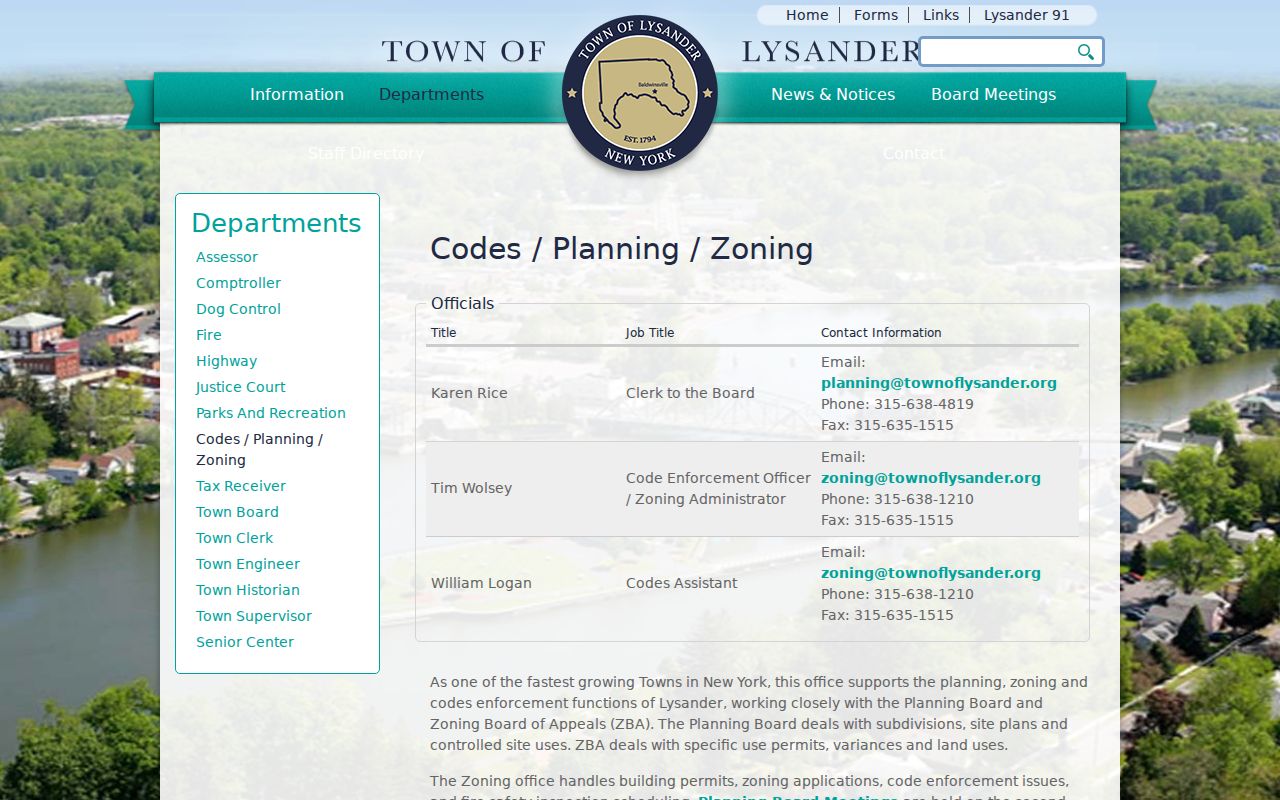
The absence of a public neighborhood directory is itself important. Use a specific record or community contact rather than assuming that a private roster is available.
Lysander Community Contacts, Not Rosters
No official umbrella inventory of Lysander neighborhood associations, HOA contacts, member directories, or block-watch rosters was verified in the research. That means a municipal page, subdivision plan, or organization name should not be treated as permission to obtain a membership list. Historical community research has several public starting points, but each has its own access rules.
Baldwinsville Public Library
Local-history room for Lysander, Baldwinsville, Clay, and Van Buren. It provides newspapers, area history, genealogy, yearbooks, and staff-assisted research; room-use and reproduction rules apply.
Town Historian
Bonnie Kisselstein is identified by the Town Historian page at 315-857-0292 ext. 227, with links to genealogy sources, cemetery material, and a school map.
OCPL Local History
OCPL’s room has cemetery cards, directories, newspapers, censuses, maps, and local digital collections. An OCPL card and staff retrieval can be needed for some material.
Cemetery associations, churches, civic clubs, alumni material, and local papers may help reconstruct older community history. Their private membership records are not ordinary public records, and an archivist or organization contact may set the access terms.
Official Records Versus Compiled Neighbor Lists
Official parcel systems and commercial compiled-people categories serve different purposes. The official path identifies a custodian, a record date, a parcel, and a defined access channel. Compiled categories combine public and marketing-derived material, can mix owners with earlier occupants, and often omit their source date or the parcel relationship. A map and tax record remain the stronger starting point for a Lysander block.
| Official parcel records | Compiled commercial category |
|---|---|
| Links an owner of record to a tax-map number, situs, roll date, or recorded transfer. | May combine name and address information without a visible parcel basis or reliable update date. |
| Can be checked against GIS geometry, deed descriptions, and the custodian’s access rules. | Can confuse prior occupants, owners, and other people associated with an address. |
| Has defined limits: it does not list every household member or prove current presence. | Should not be treated as an official neighborhood directory or a substitute for a source check. |
Privacy Limits for Lysander Neighbors
Parcel ownership is public context, not a license to infer a household. Names of non-owner household occupants who are not part of a public filing, private association membership rosters, utility-customer records, delivery accounts, and DMV addresses are not public block-directory material. DMV information is protected by the federal Driver’s Privacy Protection Act. Sealed, juvenile, adoption, and other confidential records must not be pursued through alternate sources.
New York’s Address Confidentiality Program can provide a substitute mailing address for eligible participants. Protected voter registrations under Election Law §5-508 are separately maintained and are not ordinary public inspection or copying records. Keep protected people out of a map-based research trail, even if another public record mentions the general parcel.