
Lysander ZIP Code Coverage
Five working postal ZIP codes are associated with addresses within or connected to Town of Lysander. The list was cross-checked against a current ZIP map reference and 2025 assessment-roll mailing examples, but the United States Postal Service is the authority for any individual address. Postal boundaries can cross village or town concepts, so the broad area descriptions below remain careful rather than pretending to be legal boundary lines.
| ZIP | Areas Covered | Post Office | Notes |
|---|---|---|---|
| 13027 | Central Baldwinsville and much of the Lysander/Baldwinsville postal area | Baldwinsville postal label | Can cover parcels outside the Village and across town lines; verify the address with USPS. |
| 13069 | Northern and eastern rural portions associated with Lysander | Fulton postal label | 2025 assessment examples associate this label with Lysander parcels; exact delivery boundary was not located. |
| 13080 | Western and southwestern rural portions that may use the Jordan label | Jordan postal label | Postal city differs from municipality; USPS must verify a particular address. |
| 13112 | Southern and rural-edge associations | Memphis postal label | Complete official delivery boundary and house count were not located. |
| 13135 | Northern and western rural portions that may use the Phoenix label | Phoenix postal label | 2025 Lysander assessment examples include the label; it does not establish a town boundary. |
Older references may show 13094 for Lysander or 13137 for Plainville. Neither was confirmed as a current USPS-serving code in the captured research, so treat each as historical or alternate information until an address-specific postal result says otherwise.
Lysander ZIP Code USPS Verification
Use the official USPS ZIP Code Lookup before putting a ZIP beside a specific address. The service has three modes: By Address, By City & State, and Cities by ZIP. A successful result confirms postal addressing and delivery information. It does not prove that a named person or company is at that location, and it does not decide whether the property lies within Town of Lysander.
The address form's captured fields and controls are:
| Field or mode | Type | Required | Options or format |
|---|---|---|---|
| By Address | Search mode | Choose mode | Returns ZIP information for a postal address. |
| By City & State | Search mode | Choose mode | Finds ZIPs associated with a city and state entry. |
| Cities by ZIP | Search mode | Choose mode | Returns city labels associated with a ZIP query. |
| Company | Text | Optional | Company name where relevant to the address. |
| Street | Text | Required in address mode | Street address. |
| Apartment | Text | Optional | Unit detail where applicable. |
| City and state | Text/select | City required in address mode | Postal city and state. |
| Urbanization or ZIP | Conditional text | Where the mode supports it | Additional postal input; use Find or edit the search. |
Postal form fields are not a municipal-boundary search. Preserve the exact address returned by USPS, then move to county records for the municipality and parcel.
Lysander ZIP Code Postal Geography
Lysander's postal identity has more than one label. Baldwinsville sits along the Seneca River and spans Lysander and Van Buren. A postal address reading Baldwinsville can therefore represent a Town of Lysander parcel, a Village parcel, or a nearby parcel outside the town. The Town was established in 1794, while a later code entry records a January 22, 2004 annexation of specific Lysander territory into the Village of Baldwinsville. Check the applicable map or legal source for that territory rather than extending it to the whole town.
Onondaga County 911 Address Administration approves street names and assigns address numbers in most county towns. Its road data is imported to 911 weekly, and address-point rules have evolved. When a street spelling or number fails in one system, test the postal form, road-centerline variation, county map, tax-map number, and legal description before assuming the older record is wrong.
A non-government ZIP-boundary reference is useful only as a cross-check of the five-code working list.
The captured Lysander ZIP map reference illustrates why postal labels need a separate municipality check.
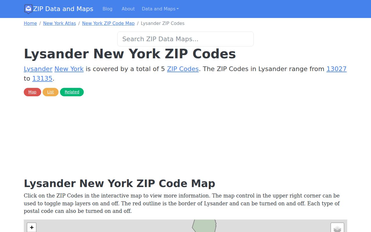
The map is a visual cross-check, while USPS and county parcel geography decide the address-specific result.
Finding a Lysander ZIP Code Record
A ZIP can narrow a search, but it cannot produce a reliable roster of people. The strongest method starts with a complete address or named record, verifies postal syntax, and then chooses the portal that accepts the needed field. Once the ZIP narrows the area to a street, the parcel-by-parcel route belongs with the Lysander street directory work rather than a ZIP-wide assumption.
- Enter the complete address in USPS By Address and save the returned postal city and ZIP.
- Search the county GIS or tax system by physical address, owner name, mailing address, or tax-map number, not ZIP alone.
- Compare the property situs municipality with the tax-roll mailing city and ZIP, retaining both when they differ.
- Use a state portal only when its form truly accepts ZIP as a filter, and retain its stated purpose and result limits.
- For a historic address, move from the verified street and parcel into deeds, maps, directories, census, or newspapers.
Note: USPS confirms an address format and ZIP, not a person's current residence, town jurisdiction, or ownership.
Lysander ZIP Code Portal Limits
Neither the captured county tax instructions nor the GIS documentation exposes a ZIP-only browse. The Onondaga tax portal accepts owner name, physical property address, mailing address, and tax-map number. GIS searches addresses and owners, shows parcel geography, and can be used to compare boundaries, but it is not a ZIP directory. This is an important local limit: a ZIP should first help normalize the address, not replace the actual parcel key.
The Image Mate property portal and county RPTS materials can return a parcel's owner of record, situs, mailing address, assessment context, map, tax information, and related material where provided. A tax roll changes through the year and distinguishes mailing from physical address. It does not create a confirmed list of current household members.
Lysander ZIP Code Filters by Source
State and county systems use ZIP in different ways. A ZIP field is a geographic refiner in some forms, an address verification detail in others, and unavailable for a bulk lookup in local property tools. Read the form's goal before treating a ZIP result as evidence about a person or parcel.
| Source | How ZIP Is Used | What the Result Can Support | Limit |
|---|---|---|---|
| USPS lookup | Address input or city/ZIP mode | Postal city and ZIP for an address | Not municipal geography or residency proof |
| Onondaga tax and GIS systems | No captured ZIP-only browse | Parcel result after address, owner, mailing address, or tax-map search | Query individual parcels or addresses |
| NYS voter lookup | ZIP or address information accompanies personal identity inputs | A registered voter's own status and polling information | Not a ZIP-wide public resident list |
| DOS licensing search | ZIP filter with county, city, name, and license type | Active license result where applicable | Residence addresses are omitted |
| DCJS registry | ZIP is a public search mode | Registry information under the program's statutory rules | It is not a general residents directory |
| OSC unclaimed funds | City and ZIP refine a name or property-ID search | Possible prior-address clue | Proof is still required for a claim |
The DOS Licensing Services search shows the ZIP filter explicitly. The New York unclaimed-funds search is free and accepts city and ZIP refiners, but its result is not a finding of current residence.
Lysander ZIP Code Terms
Postal terms describe mail routing. They should be kept separate from the county's physical parcel, the town's municipal line, and a claim about who lives at an address. The terms after the basic ZIP code are general postal definitions, not a claim that Lysander has a documented example of each special ZIP type.
- ZIP Code
- A Postal Service delivery geography used to route mail. It can cross municipal boundaries.
- ZIP+4
- The basic five-digit ZIP plus four added digits that identify a smaller delivery segment.
- PO-box ZIP
- A ZIP used for a post-office-box delivery grouping. It does not by itself identify a physical parcel.
- Unique ZIP
- A ZIP assigned for one organization or high-volume recipient. No locally documented unique ZIP is claimed here.
- Carrier route
- A mail-delivery sequence within a ZIP. It is a routing term, not a municipal or resident boundary.
Lysander ZIP Code History Gaps
Historic sources frequently have no modern ZIP to search. Reverse directories, telephone books, census pages, deeds, maps, and newspapers work from street names, postal labels, or legal descriptions instead. A modern ZIP can help locate a present address point, but an older address needs a bridge through tax-map number, lot or tract description, map, and archival context.
No authoritative Lysander-specific renumbering project or complete renamed-road list was found. Do not assign a renumbering year. Compare number and spelling variants with county road-centerline and address-point data, historic maps, deeds, directories, and a librarian or Planning confirmation. The stable clue is often the parcel or legal description rather than a postal ZIP.
Lysander ZIP Code Boundaries and City Limits
ZIP boundaries and city limits answer different questions. A postal address can be valid for mail while the physical parcel is in a different village, town, or county concept. In Lysander, the Baldwinsville label is the clearest example, and the Fulton, Jordan, Memphis, and Phoenix labels create the same need for a situs check at the town edges.
For a record request or local-history question, state both the exact postal address and the municipality confirmed by county GIS or the assessment record. For a person question, describe only the fact supported by the official record. Protected addresses, private utility accounts, and confidential registrations do not become public because a ZIP is known.