
Working a Lysander Street Directory
An address trail can establish who owned a parcel, when a recorded transfer occurred, and what historical source named an address. It does not establish a full list of current occupants. Keep the physical parcel, tax correspondence address, and legal description separate from the start. The most reliable street directory work moves from the address to the tax-map number and then back out to documents and dated directories.
- Verify the address format and postal result, then search the county property system with the physical address or known owner.
- Record the parcel or tax-map number, owner of record, situs address, and mailing address without assuming they describe the same person or place.
- Open the parcel in county GIS, confirm its position on the street, and note adjacent parcels only as map context.
- Use the owner and legal description in the Cott index to identify the acquisition deed and earlier transfers.
- For a past household, check a reverse directory or newspaper for the relevant year and compare it with the parcel trail.
That sequence is slower than a bulk list, but it preserves the distinction between an owner, a record party, and a resident.
Normalize a Lysander Street Address
Break an input into its number, street name, directional or suffix, postal city, ZIP, and municipality. Then retain three different address forms. A situs address is the physical place used by GIS, 911, permits, and the assessor. A mailing address is where tax notices go, and it can point to an owner, trust, agent, or another location. A legal description is the lot, block, tract, subdivision, or metes-and-bounds language used in deeds.
The legal description and tax-map number often survive when a street spelling, postal label, or number changes. No specific Lysander street-renumbering project was verified, so it is unsafe to state one. Where a modern search fails, compare the road spelling, address point, historic map, parcel identifier, and document description rather than forcing an old entry into a modern format.
Note: A Baldwinsville postal address can be in Lysander, Van Buren, or another jurisdiction. Confirm the parcel’s situs before assigning municipal history.
Lysander Street Directory Parcel Keys
County RPTS and Image Mate use four local property-search keys. Start with only one. The county warns that too many criteria can cause a failed search. A street directory search is therefore usually a sequence of individual address or parcel queries, not a single whole-street export. The live inspection did not confirm a street-contains control, result pagination, or bulk download, so none should be assumed.
| Image Mate field | Street-directory use |
|---|---|
| Owner name | Find the current owner-of-record spelling, including a deed-name variation. |
| Physical property address | Locate the mapped situs for a known house number and street. |
| Mailing address | Find tax correspondence, which is a clue rather than occupancy evidence. |
| Tax-map number | Carry a parcel identity into GIS, tax maps, deeds, and town requests. |
The Onondaga tax-search route displays those address and tax-map choices.
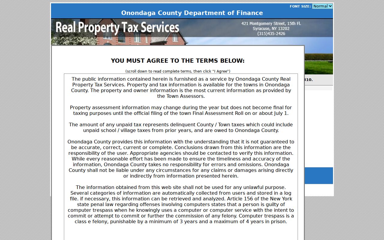
The four keys answer different address questions, which is why a physical address and a mailing address should never be merged automatically.
Lysander GIS Street Walk
The Onondaga County GIS viewer can search owner or address, find addresses, search features by geometry, measure distance and area, and export a map to PDF. Locate the known address, zoom until parcel lines are visible, then click the subject parcel. For a street segment, visually follow the parcel boundaries and check individual parcels rather than treating map proximity as evidence that people are neighbors.
GIS can show roads, address points, districts, zoning, flood information, and other layers where the zoom level makes them available. The exact live layer names and whether a buffer can export a parcel list were not confirmed. Carry each selected tax-map number to Image Mate or RPTS for owner and assessment context. A map locates land; it does not identify every person associated with it.
Lysander Street-Searchable Records
Address-keyed sources differ in what they prove. The assessment roll is the best current parcel entry point. GIS explains its location and boundaries. Recorded deeds establish legal transfers. Planning material can document authorized work. Historical directories may name an occupant or business at a particular date. The voter-facing state lookup does not provide a public street roster.
| Address record | Local keeper | What the street search can show | Access boundary |
|---|---|---|---|
| Image Mate / assessment roll | Town Assessor and RPTS | Owner, tax-map number, situs, mailing address, values and tax context | Public parcel search, not a household list. |
| GIS parcel viewer | County Planning | Parcel geometry, address points, roads, measurements, map context | Public viewer; exact layers and export controls vary. |
| Cott deed index | County Clerk | Grantor, grantee, document date, legal description, references | 1794-present index; images can be gated or paid. |
| Planning and permits | Lysander Planning/Zoning | Address, work, dates, and party names where a file exposes them | Reports and property-search request; not occupancy proof. |
| Reverse directories | OCPL and Baldwinsville library | Historical occupant or business by address and year | Coverage varies; postal label can be ambiguous. |
Keep a short record log: address as searched, tax-map number, source date, document number, and whether the statement is ownership, a historical listing, or an inference. That makes a street directory result checkable later.
Note: A full voter file is a controlled Board of Elections request for an elections purpose. The public lookup is not a substitute for it.
Lysander Cott Deed Trail
The parcel, not the street number alone, is the anchor for an ownership trail. In the Cott index, search the known owner as a grantee to find the acquisition deed. Read the prior grantor, recording date, consideration or stamps where recorded, legal description, and book-page or instrument reference. Search that seller as a grantee to move backward. Search the known owner as a grantor to follow a later sale.
The County Clerk’s real-property coverage begins in 1794. Guest index searching is free, but images and printing can require a Cott account, subscription, and per-page charge. Older records can be handwritten, and not every index hit has an online image. Clerk counter copies are the fallback. For an older surname with an inserted space, such as MC CARTHY, Cott instructions advise searching the second component with a contains setting; that special workaround does not apply to post-August 2017 data.
The Cott grantor-grantee search route is the official index entry point.
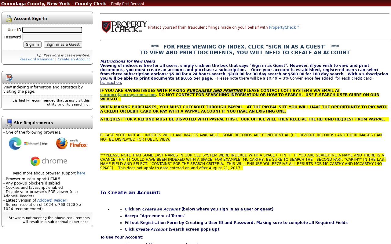
A recorded deed identifies a legal transaction and its parties, not a complete list of people who occupied the parcel.
Lysander Street Permit Evidence
Town Planning and Zoning adds a date layer to a street search. Monthly building-permit reports were located for 2016-2025, and the Town’s April 2025 sample shows how municipal permit evidence appears as a report rather than as a resident-search portal. A report can point to construction or alteration at an address. It does not prove that a named applicant lived there.
For a more targeted file, the Town Property Search Form requests a date, property address, tax-map number, records sought, contact details, signature, and noncommercial-use certification. The stated charge is $50 per property, payable by check to the Town of Lysander. The form does not state a fixed historical start date. Ask for an existing permit, zoning, code, or planning record rather than a newly compiled street list.
The Lysander property-search form is the documented offline request path.
Lysander Reverse Directory Results
A reverse or criss-cross directory runs from address to a listed occupant or business for a specific year. Read the street and house number in the reverse section, then check the name section for the same year and nearby years. Record whether an entry says residence or business, plus the initials, occupation, post-office label, and spelling shown. That detail is important in a rural town where a directory may favor Baldwinsville or another postal city over the Town name.
OCPL holds city and suburban directories in microfiche from 1844, microfilm from 1862-1935, and print from 1936 forward, subject to collection gaps. Baldwinsville Public Library has a staff-assisted, room-use local-history fallback for Lysander material. Use a directory alongside deeds, tax maps, county census, newspapers, or obituary material. A historical listing is a dated clue, not proof of a current street resident.
Note: If an address cannot be found in one directory, compare the next available year and the legal description before concluding it was never used.
Lysander Postal Street Labels
Five postal labels can appear on addresses associated with the Town: Baldwinsville, Fulton, Jordan, Memphis, and Phoenix. The physical location comes first. A tax-roll mailing label of Baldwinsville does not by itself prove Village jurisdiction, and a Fulton, Jordan, Memphis, or Phoenix label does not take a parcel out of Lysander. Compare the GIS or RPTS situs with the postal result.
For an old street directory entry, write down the postal city as printed. Then bridge it to the modern parcel through the legal description, tax-map number, map, or adjacent deed parties. This avoids turning a postal convenience into a false municipal conclusion.
Lysander 911 Street Addressing
County 911 Address Administration approves street names and assigns address numbers in most Onondaga towns. Road-centerline information is imported for 911 use weekly, and address-point rules have evolved with dispatch needs. That maintenance explains why a current address may need a spelling or number variation when it is searched in a historical record or different portal.
Onondaga 911 Address Administration documents the street-name and numbering role.
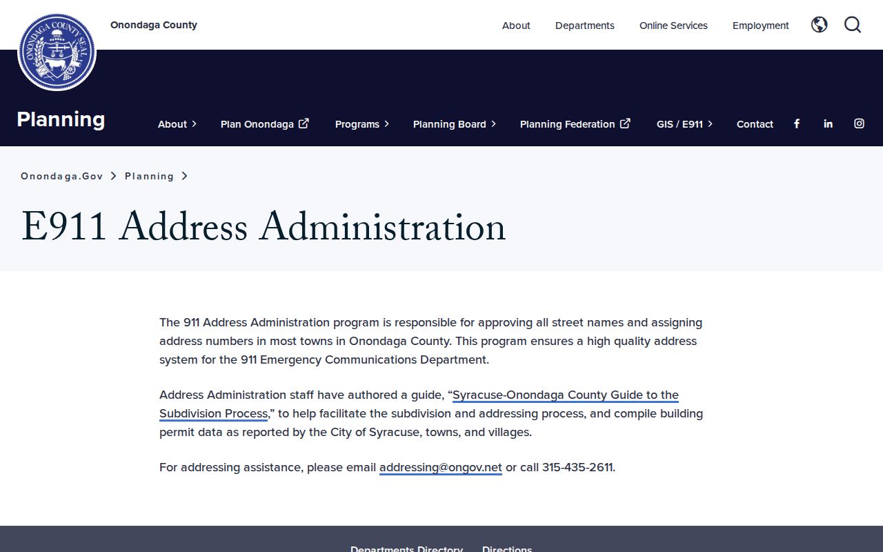
Address administration supports reliable emergency location and data quality. It does not publish a public roster for a street.
Limits of a Lysander Street Directory
A property record may identify an owner of record. A deed may identify transaction parties. A directory may list someone at an address in a historical year. None of these sources reliably identifies every renter, household member, utility customer, delivery recipient, or current resident. DMV address data is protected, and protected voters and Address Confidentiality Program participants must not be exposed through street research.
The state voter lookup requires an individual’s identifying information and is not a street-wide browser. A full file, if lawfully released for an elections purpose, has separate restrictions. Do not make a street roster from unsupported inferences, and do not treat an absent search hit as evidence about a person’s life or location.
Lysander Street Terms
Street research becomes clearer when the local record vocabulary stays precise.
- Parcel
- A defined piece of land represented by a tax-map number and boundaries.
- Situs address
- The physical location of that parcel, unlike the address used for tax mail.
- Legal description
- The lot, block, tract, subdivision, or metes-and-bounds language that identifies land in a deed.
- Criss-cross directory
- An address-arranged directory that can show a listed occupant or business for one year.
Save the source, date, tax-map number, and exact address form with each street directory finding. The record can then be checked by the office or library that holds it.